 Paikkatietohakemisto
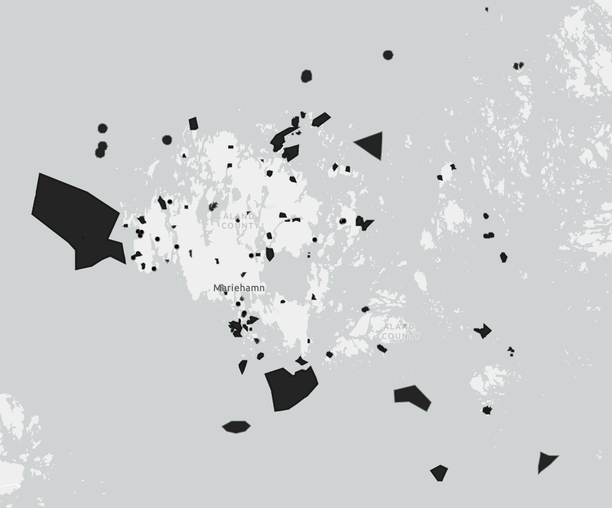
Skyddsområden på Åland WFS
I WFS-tjänsten finns följande kartlager:
Naturreservat - innehåller både naturreservat och sälskyddsområden på Åland
Natura 2000 ytor
Natura 2000 punkter
Simple
Identification info
- Date (Publication)
- 2019-11-13
-
Paikkatietohakemiston asiasanasto
-
-
Ej-Inspire
-
avoindata.fi
-
-
GEMET - INSPIRE themes, version 1.0
-
-
Skyddade områden
-
-
Paikkatietopalvelut
-
-
Tjänst för åtkomst till objekt
-
-
INSPIRE Service taxonomy
-
-
infoFeatureAccessService
-
-
Hallinnolliset yksiköt
-
-
Landskapet Åland
-
- Access constraints
- Other restrictions
- Other constraints
- no limitations to public access
- Use constraints
- Other restrictions
- Other constraints
- Erkännande 4.0 Internationell (CC BY 4.0)
- Service Type
- OGC:WFS
N
S
E
W
))
Contains Operations
No information provided.
- Reference system identifier
- http://www.opengis.net/def/crs/EPSG/0/3067
- OnLine resource
- https://kartor.regeringen.ax/arcgis/services/Miljo/Skyddsomraden/MapServer/WFSServer ( OGC:WFS )
- OnLine resource
- https://kartor.regeringen.ax/arcgis/services/Miljo/Skyddsomraden/MapServer/WFSServer?service=wfs&request=GetFeature&typeName=Miljo_Skyddsomraden:Naturreservat&outputFormat=GEOJSON ( OGC:WFS )
- OnLine resource
- https://kartor.regeringen.ax/arcgis/services/Miljo/Skyddsomraden/MapServer/WFSServer?service=wfs&request=GetFeature&typeName=Miljo_Skyddsomraden:Natura_2000&outputFormat=GEOJSON ( OGC:WFS )
- OnLine resource
-
kartor.ax
(
WWW:LINK-1.0-http--link
)
Landskapsregeringens öppna kartportal
- Hierarchy level
- Service
- Other
-
Tjänst
Conformance result
- Date (Publication)
- 2009-10-19
- Explanation
-
Tjänsten möter inte INSPIRE-direktivets krav för nedladdningstjänster.
- Pass
- No
- File identifier
- 093b1c1b-7fc3-4889-8f76-a8d595a19112 XML
- Metadata language
- swe
- Hierarchy level
- Service
- Hierarchy level name
-
Tjänst
- Date stamp
- 2023-05-15T11:01:56
Overviews
Spatial extent
N
S
E
W
Provided by

Associated resources
Not available