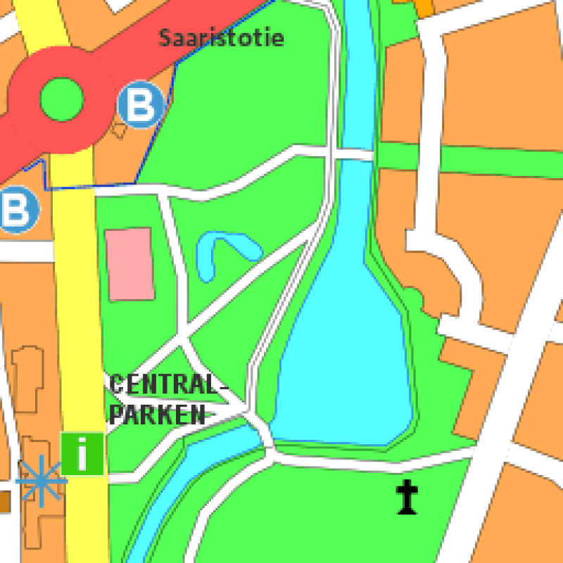
Pargas guidekarta
Guidekartan är en generaliserad kartprodukt med en skala på 1:20000. Guidekartan täcker stadens huvudöar. Uppdatera en gång i månaden.
Simple
- Date (Publicerad)
- 2014-12-17
- Unique resource identifier
- http://paikkatiedot.fi/so/1000445
-
GEMET - INSPIRE themes, version 1.0
-
-
Adresser
-
Geografiska namn
-
-
Paikkatietohakemiston asiasanasto
-
-
Guidekarta
-
Trafik
-
Offentliga tjänster
-
Stadsdelar
-
Turism och fritid
-
Idrotts- och motionstjänster
-
Ej-Inspire
-
-
Hallinnolliset yksiköt
-
-
Pargas
-
- Restriktioner på tillgång
- Other restrictions
- Other constraints
- no limitations to public access
- Villkor för användning
- Other restrictions
- Other constraints
- Erkännande-IckeKommersiell 4.0 Internationell (CC BY-NC 4.0)
- Spatial representation type
- Vektor
- Spatial representation type
- Grid
- Denominator
- 20000
- Metadata language
- Finnish
- Metadata language
- swe
- Topic category
-
- Imagery base maps earth cover
N
S
E
W
))
- Unique resource identifier
- EPSG:3877
- Distribution format
-
-
ESRI Shapefile
(
)
-
Mapinfo MIF/MID
(
)
-
DWG
(
)
-
Locus Xcity
(
)
-
ESRI Shapefile
(
)
- OnLine resource
- Paraisten kaupungin karttapalvelu ( WWW:LINK-1.0-http--link )
- OnLine resource
- Paraisten kaupungin WMS-rajapinta GetCapabilities-kysely ( http://www.opengis.net/def/serviceType/ogc/wms )
- OnLine resource
- Paraisten kaupungin opaskartta, WMS-palvelu ( http://www.opengis.net/def/serviceType/ogc/wms )
- Hierarchy level
- Datamängd
Conformance result
- Date (Publicerad)
- 2010-12-08
- Explanation
-
Aineisto ei ole INSPIRE-tietotuotemäärittelyn mukainen
- Pass
- No
- Statement
-
Guidekartan är baserad på flygfoton och baskartor.
- File identifier
- 8f0f1034-fcf1-4cbc-86c3-21840d53c108 XML
- Metadata language
- Finnish
- Hierarchy level
- Datamängd
- Hierarchy level name
-
Aineisto
- Date stamp
- 2023-06-29T13:19:54
Översikt

large_thumbnail

thumbnail
Rumslig utbredning
N
S
E
W
))
Provided by

Associated resources
Not available
 Paikkatietohakemisto