MVT Mapbox Vector Tiles
Type of resources
Topics
Provided by
Formats
Representation types
Update frequencies
Scale
-

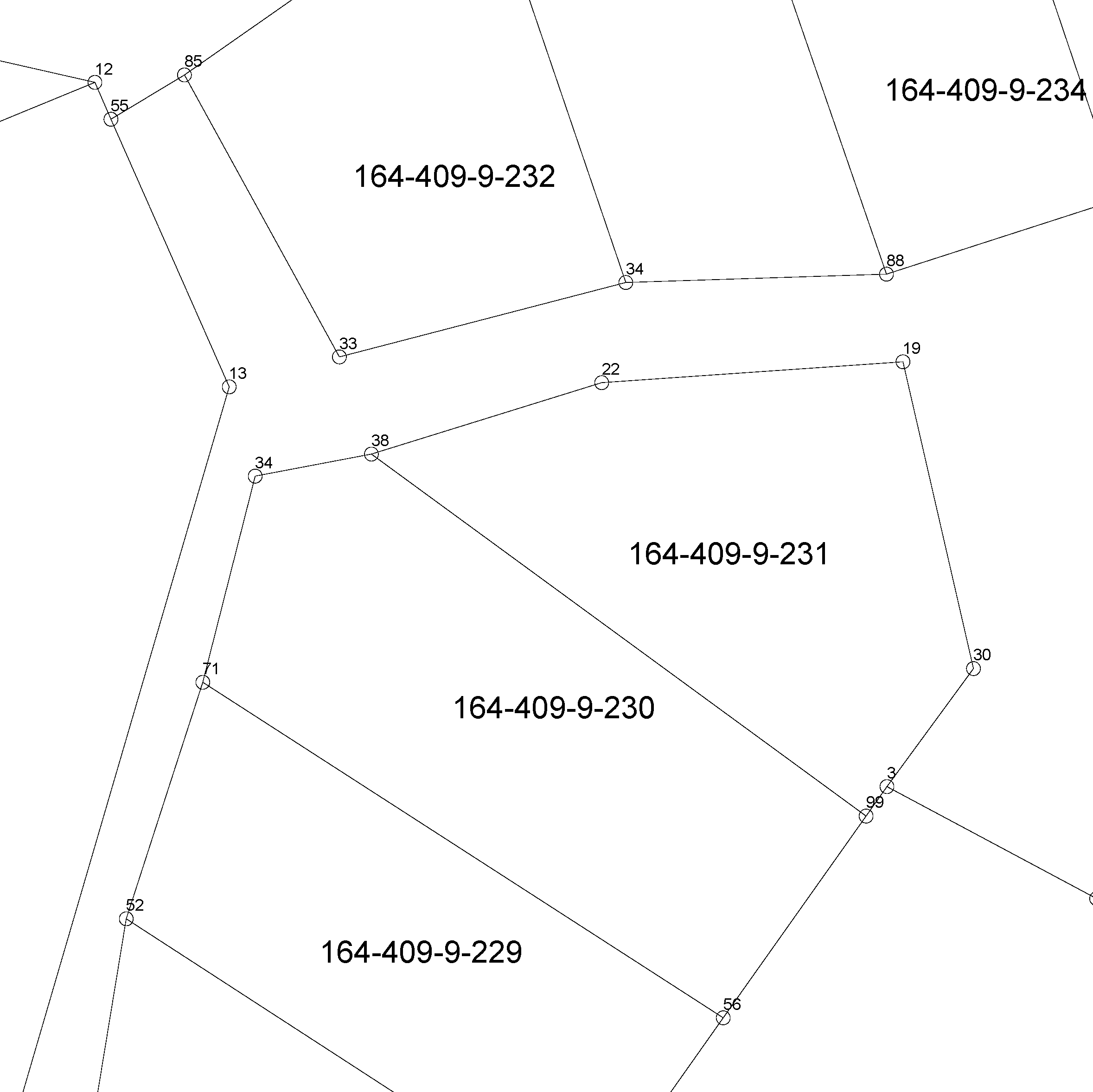
The Cadastral index map shows location data of real property units. They include boundaries, boundary markers, property identifiers, and unseparated parcels of real property units and other register units. The product is open data. You can take the product into use via the interface services or in file format in the Download geospatial data section on MapSite. You can read more about acquisition in the section Distribution and further information below. If you download the product with municipal boundaries on MapSite, it is good to know that parcels also include areas from the neighbouring municipality. You can make a more precise intersection in the client software, for instance with the Administrative areas product. The linear boundary data is, however, intersected according to municipal boundaries. Other attribute data related to properties are available in the Cadastre. More information (in Finnish and Swedish): http://www.maanmittauslaitos.fi/kiinteistot/asiantuntevalle-kayttajalle/kiinteistotiedot-ja-niiden-hankinta
 Paikkatietohakemisto