asNeeded
Type of resources
Topics
Keywords
Contact for the resource
Provided by
Years
Formats
Representation types
Update frequencies
Service types
-
NLS-FI INSPIRE Download Service (WFS) for Buildings/Polygon is an INSPIRE compliant direct access Web Feature Service. It contains the following INSPIRE feature types: Building The service is based on the NLS-FI INSPIRE Buildings Theme Dataset. The dataset is administrated by the National Land Survey of Finland. The service contains all features from the dataset that are modelled as polygons.
-
NLS-FI INSPIRE Download Service (WFS) for Administrative Units Theme is an INSPIRE compliant direct access Web Feature Service. It contains the following INSPIRE feature types: AdministrativeUnit, AdministrativeBoundary, Baseline, MaritimeZone, MaritimeBoundary. The service is based on the NLS-FI INSPIRE Administrative Units dataset. The dataset is administrated by the National Land Survey of Finland.
-
NLS-FI INSPIRE Download Service (WFS) for Cadastral Parcels Theme is an INSPIRE compliant direct access Web Feature Service. It contains the following INSPIRE feature types: BasicPropertyUnit, CadastralParcel, CadastralBoundary. The service is based on the NLS-FI INSPIRE Cadastral Parcels dataset. The dataset is administrated by the National Land Survey of Finland.
-
NLS-FI INSPIRE Download Service (WFS) for Geographical Names Theme is an INSPIRE compliant direct access Web Feature Service. It contains the following INSPIRE feature types: NamedPlace. The service is based on the Geographic Names Register of the National Land Survey of Finland. The dataset is administrated by the National Land Survey of Finland.
-
NLS-FI INSPIRE Download Service (WFS) for Buildings/Point is an INSPIRE compliant direct access Web Feature Service. It contains the following INSPIRE feature types: Building The service is based on the NLS-FI INSPIRE Buildings Theme Dataset. The dataset is administrated by the National Land Survey of Finland. The service contains all features from the dataset that are modelled as points.
-
NLS-FI INSPIRE Download Service (WFS) for Hydrography Theme is an INSPIRE compliant direct access Web Feature Service. It contains the following INSPIRE feature types: Dam Or Weir, Land-water Boundary, Rapids, Shoreline Construction, Standing Water, Watercourse. The service is based on the NLS-FI INSPIRE Hydrography Physical Waters dataset. The dataset is administrated by the National Land Survey of Finland.
-
NLS Orthophotos are an aerial photo dataset covering the whole of Finland. An orthophoto is a combination of several individual aerial photos. The geometry of the orthophotos corresponds to a map. The aerial photo data set in orthophoto format is available as - the most recent data set consisting of the most recent aerial photos available. The most recent data is usually 1–3 years old. - old aerial photos, consisting of data sets that are older than the most recent data set. The oldest aerial photos were taken in the 1930s. New data is added to the data set continuously. NLS Orthophotos are updated every 3 years (in Northern Lapland 12 years). Different versions of orthophoto products: - Ortophoto - Ortophoto, false colour - Ortophoto, forest ortho - Ortophoto, natural disasters In addition, there is an index map available presenting the year, when the newest photo was taken in each square. The product belongs to the open data of the National Land Survey of Finland.
-

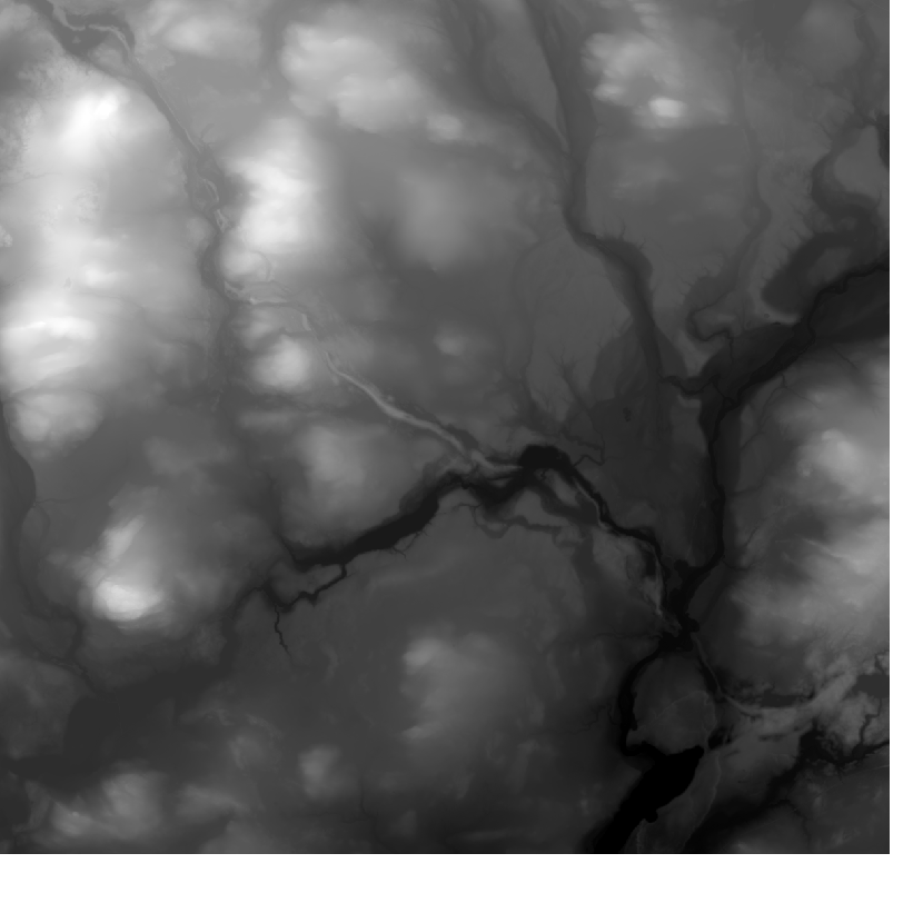
Elevation model 10 m depicts the elevation of the ground surface of the whole of Finland in relation to sea level. Its grid size is 10 m x 10 m and the accuracy of elevation data 1.4 metres. The product belongs to the open data of the National Land Survey of Finland.
-

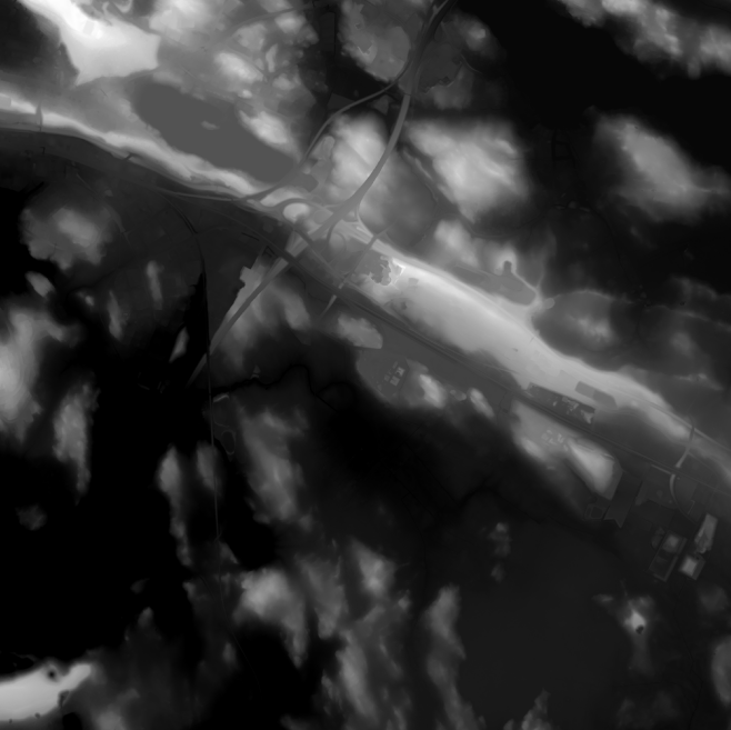
Elevation model 2 m is a model depicting the elevation of the ground surface in relation to sea level. Its grid size is 2 m x 2 m. The dataset is based on laser scanning data, the point density of which is at least 0.5 points per square metre. The product's coverage is based on nationwide laser scanning. In some parts of the outer archipelago or the eastern border, the elevation model is not available. Elevation model 2 m is produced in two quality classes: the elevation accuracy in class I is on average 0.3 metres and the elevation accuracy in class II varies between 0.3 metres and one metre. The product belongs to the open data of the National Land Survey of Finland.
 Paikkatietohakemisto