elevation
Type of resources
Available actions
Topics
Keywords
Contact for the resource
Provided by
Years
Formats
Representation types
Update frequencies
status
Scale
-
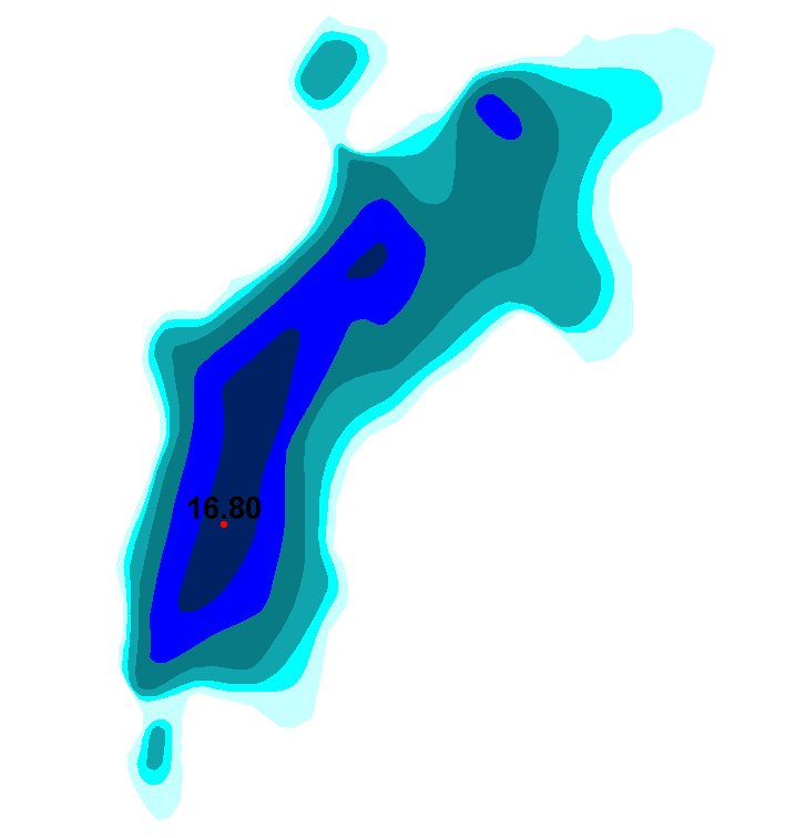
Sisävesien (järvet, joet) syvyysaineisto perustuu pääosin ympäristöhallinnon tekemiin syvyysluotauksiin. Luotauspisteaineistosta on Sykessä johdettu syvyyskäyrät ja -alueet sekä järven maksimisyvyyspiste- aineistot. Järvien luotaus- ja maksimisyvyyspisteisiin sekä syvyysalueisiin on yhdistetty fysiografiatietoja Syken ylläpitämästä järvirekisteristä. Nämä syvyyskäyrät toimitetaan Maanmittauslaitokseen, jossa ne tallennetaan osaksi maastotietokantaa ja edelleen julkaistaan maastokartoista. Aineisto kuuluu SYKEn avoimiin aineistoihin (CC BY 4.0). Aineistosta on julkaistu INSPIRE-tietotuote. Lisätietoja: https://geoportal.ymparisto.fi/meta/julkinen/dokumentit/Syvyys.pdf The Lake and River Depth Profiles dataset includes information on depth profiles of lakes and rivers and is mainly based on the depth measurements done by the national environmental administration. The bathymetric lines and the depth areas are produced from separate measurement point information. Bathymetric information and the maximum depth points have also information on physiography from the lake database “Järvirekisteri” maintained by Syke. These bathymetric lines are delivered for The National Land Survey of Finland where they are combined with the base map dataset (Maastotietokanta) and published as maps.
-
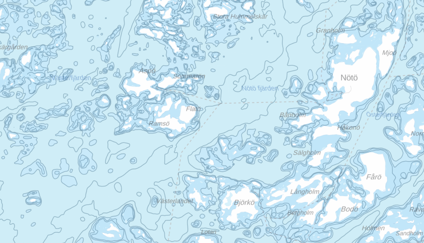
Aineisto sisältää syvyysalueet, syvyyskäyrät ja yksittäiset syvyyspisteet (syvyysluvut). Suluissa tason tekninen nimi. Syvyysalueet (DepthArea_A) Syvyyskäyrät (DepthContour_L) Syvyyspisteet (Sounding_P)
-
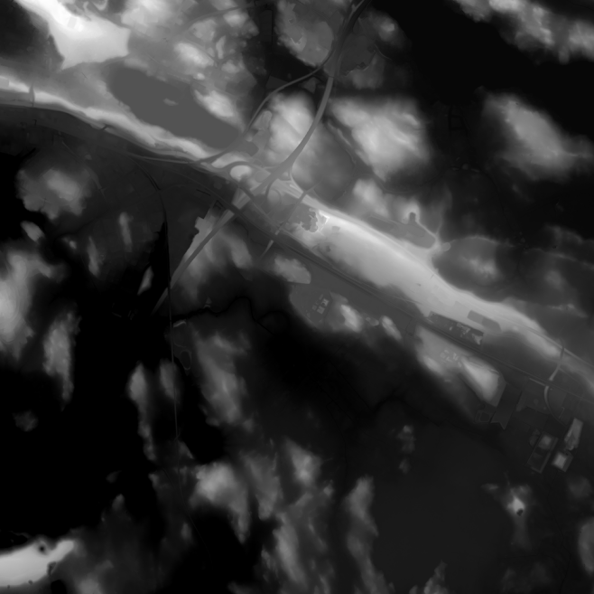
Elevation model 2 m is a model depicting the elevation of the ground surface in relation to sea level. Its grid size is 2 m x 2 m. The dataset is based on laser scanning data, the point density of which is at least 0.5 points per square metre. The product's coverage is based on nationwide laser scanning. In some parts of the outer archipelago or the eastern border, the elevation model is not available. Elevation model 2 m is produced in two quality classes: the elevation accuracy in class I is on average 0.3 metres and the elevation accuracy in class II varies between 0.3 metres and one metre. The product belongs to the open data of the National Land Survey of Finland.
-
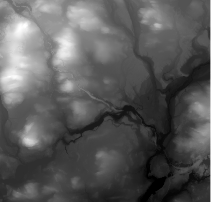
Elevation model 10 m depicts the elevation of the ground surface of the whole of Finland in relation to sea level. Its grid size is 10 m x 10 m and the accuracy of elevation data 1.4 metres. The product belongs to the open data of the National Land Survey of Finland.
-
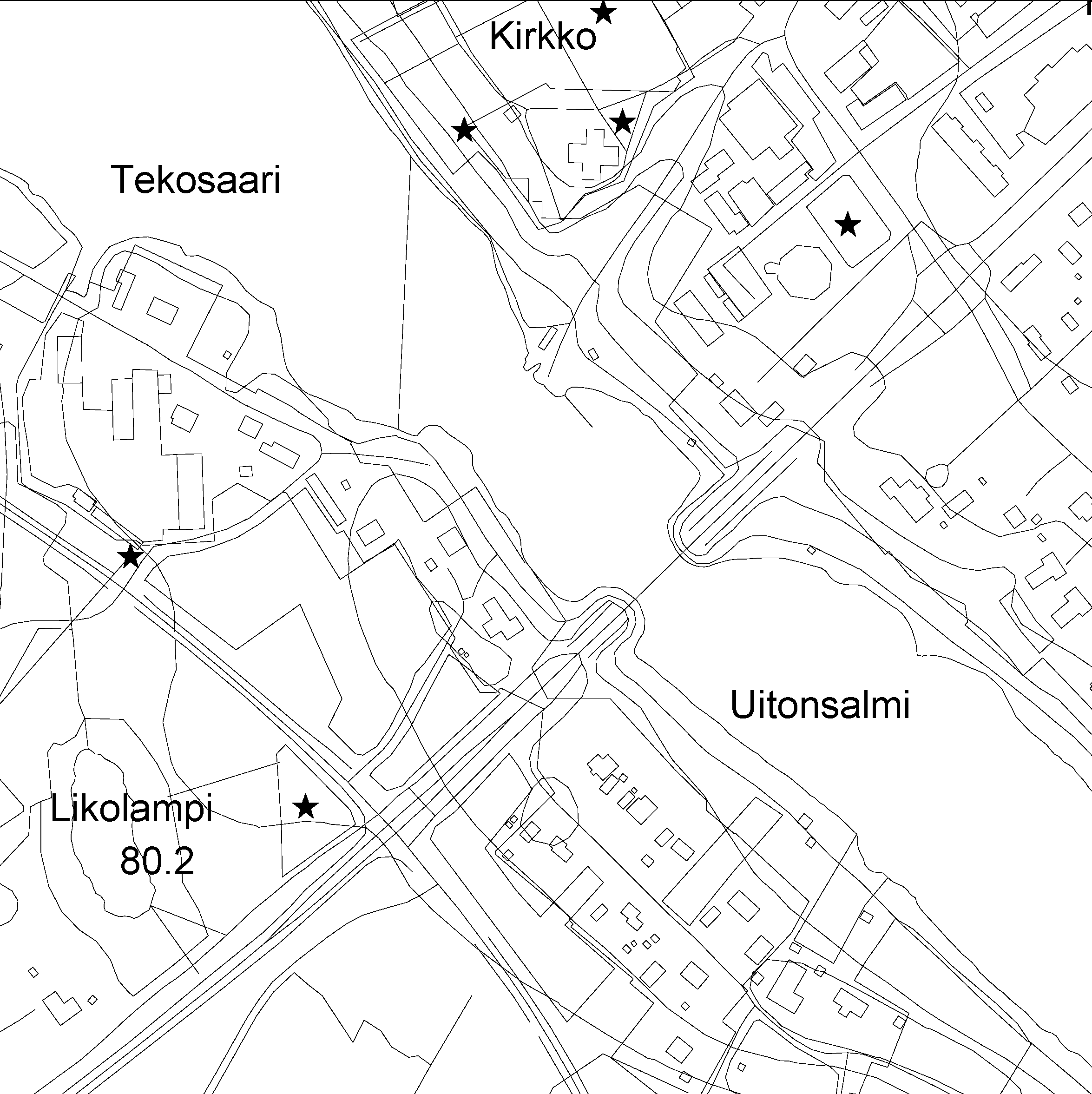
The Topographic database is a dataset depicting the terrain of all of Finland. The key objects in the Topographic database are the road network, buildings and constructions, administrative borders, geographic names, land use, waterways and elevation. Aerial photographs, scanning data and data provided by other data providers are utilised in updating the Topographic database. The updating is done in close cooperation with the municipalities. Field checks in the terrain are also needed to some extent, mostly as regards the classification of features. The topographic database is used in the production of other map products and in various optimisation tasks. The product belongs to the open data of the National Land Survey of Finland.
 Paikkatietohakemisto