dataset
Type of resources
Available actions
Topics
Keywords
Contact for the resource
Provided by
Years
Formats
Representation types
Update frequencies
status
Scale
Resolution
-
NLS-FI INSPIRE Geographical Names Theme Dataset is a dataset depicting the Named Places and Geographical Names covering the whole of Finland. It contains the following INSPIRE feature types: NamedPlace The elements are updated weekly. The dataset is based on the Geographic Names Register of the National Land Survey of Finland: http://www.paikkatietohakemisto.fi/geonetwork/srv/fin/catalog.search#/metadata/eec8a276-a406-4b0a-8896-741cd716ade6 The dataset is available via the NLS-FI INSPIRE Download Service (WFS) for Geographical Names Theme and it can be viewed via the NLS-FI INSPIRE View Service (WMS) for Geographical Names.
-
NLS-FI INSPIRE Cadastral Parcels Theme Dataset is a dataset depicting the Cadastral Parcels and Basic Property Units covering the whole of Finland. It contains the following INSPIRE feature types: BasicPropertyUnit, CadastralParcel, CadastralBoundary. The elements are updated weekly. The dataset is based on the NLS Cadastral Index Map database. The dataset is available via the NLS-FI INSPIRE Download Service (WFS) for Cadastral Parcels Theme and it can be viewed via the NLS-FI INSPIRE View Service (WMS) for Cadastral Parcels.
-
NLS-FI INSPIRE Buildings Theme Dataset is a dataset depicting the Buildings covering the whole of Finland. It contains the following INSPIRE feature types: Building The elements are updated weekly. The dataset is based on the NLS Topographic database: http://www.paikkatietohakemisto.fi/geonetwork/srv/en/main.home?uuid=cfe54093-aa87-46e2-bfa2-a20def7b036f. Id-attribute indicates the topographic database id for features (mtk-id). The dataset is available via the NLS-FI INSPIRE Download Service (WFS) for Buildings Theme and it can be viewed via the NLS-FI INSPIRE View Service (WMS) for Buildings.
-
NLS-FI INSPIRE Administrative Units Theme Dataset is a dataset depicting Administrative Units covering the land area and Maritime Units covering the sea area of Finland. Administrative Units contain the following INSPIRE feature types: AdministrativeUnit, AdministrativeBoundary. Maritime Units contain the following INSPIRE feature types: Baseline, MaritimeZone, MaritimeBoundary. Administrative Units are updated once a year from the NLS Cadastral Index Map database. Maritime Units are quite stable and have no regular update cycle. The dataset is available via the NLS-FI INSPIRE Download Service (WFS) for Administrative Units Theme and it can be viewed via the NLS-FI INSPIRE View Service (WMS) for Administrative Units.
-

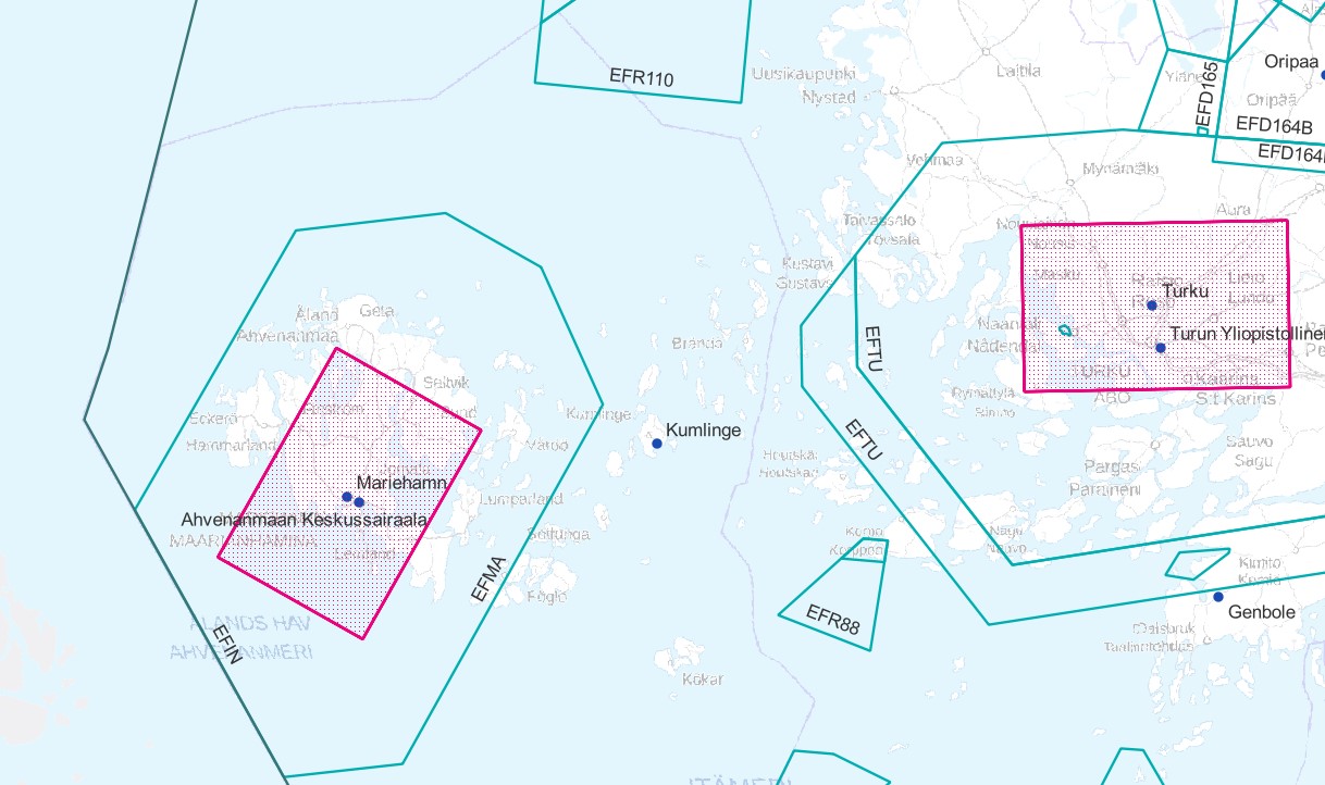
Air traffic network-product is a link-knot routing dataset compliant with INSPIRE requirements. It includes f.ex. flight routes and aerodromes. Data shall not be used for operational flight activities or flight planning. INSPIRE Air Traffic Network-product includes spatial information of air traffic network in accordance with the INSPIRE Directive. The data has been retrieved from the EAD database maintained by Eurocontrol. Information is updated regularly but is not constantly up to date. Data can be used for purposes that are in accordance with the INSPIRE Directive, but shall not be used for operational flight activities or flight planning. ANS Finland www.ais.fi –site provides information for operational flight activities or flight planning Available layers Aerodrome Node: Node located at the aerodrome reference point of an airport/heliport, which is used to represent it in a simplified way.DEFINITION Aerodrome Reference Point (ARP): The designated geographical location of an aerodrome, located near the initial or planned geometric centre of the aerodrome and normally remaining where originally established [AIXM3.3].DEFINITION Airport/heliport: A defined area on land or water (including any buildings, installations and equipment) intended to be used either wholly or in part for the arrival, departure and surface movement of aircraft/helicopters [AIXM5.0]. Air Route Link: A portion of a route to be flown usually without an intermediate stop, as defined by two consecutive significant points Air Space Area: A defined volume in the air, described as horizontal projection with vertical limits. Designated Point: A geographical location not marked by the site of a radio navigation aid, used in defining an ATS route, the flight path of an aircraft or for other navigation or ATS purposes. Instrument Approach Procedure: A series of predetermined manoeuvres by reference to flight instruments with specified protection from obstacles from the initial approach fix, or where applicable, from the beginning of a defined arrival route to a point from which a landing can be completed and thereafter, if a landing is not completed, to a position at which holding or en route obstacle clearance criteria apply. Navaid: One or more Navaid Equipments providing navigation services.DEFINITION Navaid equipment: A physical navaid equipment like VOR, DME, localizer, TACAN or etc. Procedure Link: A series of predetermined manoeuvres with specified protection from obstacles. Runway Area: A defined rectangular area on a land aerodrome/heliport prepared for the landing and take-off of aircraft. Runway Centerline Point: An operationally significant position on the center line of a runway direction. Standard Instrument Arrival: A designated instrument flight rule (IFR) arrival route linking a significant point, normally on an ATS route, with a point from which a published instrument approach procedure can be commenced. Standard Instrument Departure: A designated instrument flight rule (IFR) departure route linking the aerodrome or a specific runway of the aerodrome with a specified significant point, normally on a designated ATS route, at which the en-route phase of a flight commences. Surface Composition: Runway surface material CTR (Not INSPIRE): A control zone (CTR) is a block of Controlled Airspace extending from the surface of the earth to a specified upper limit.
-

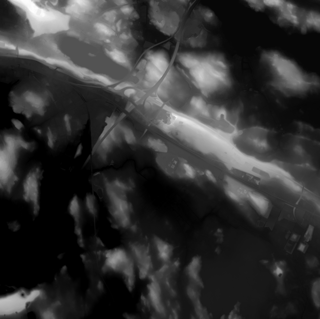
Elevation model 2 m is a model depicting the elevation of the ground surface in relation to sea level. Its grid size is 2 m x 2 m. The dataset is based on laser scanning data, the point density of which is at least 0.5 points per square metre. The product's coverage is based on nationwide laser scanning. In some parts of the outer archipelago or the eastern border, the elevation model is not available. Elevation model 2 m is produced in two quality classes: the elevation accuracy in class I is on average 0.3 metres and the elevation accuracy in class II varies between 0.3 metres and one metre. The product belongs to the open data of the National Land Survey of Finland.
-
NLS-FI INSPIRE Hydrography Theme Dataset is a dataset depicting the Hydrography Physical Waters covering the whole of Finland. It contains the following INSPIRE feature types: Dam Or Weir, Land-water Boundary, Rapids, Shoreline Construction, Standing Water, Watercourse. The elements are updated approximately every 5–10 years. The dataset is based on the NLS Topographic database: https://www.paikkatietohakemisto.fi/geonetwork/srv/eng/catalog.search#/metadata/cfe54093-aa87-46e2-bfa2-a20def7b036f The dataset is available via the NLS-FI INSPIRE Download Service (WFS) for Hydrography Theme and it can be viewed via NLS-FI INSPIRE View Service (WMS) for Hydrography. http://paikkatiedot.fi/so/4dae5686-2a8c-40d8-837f-ce6f5547dba2
-
Agricultural parcel containing spatial data The agricultural parcels are a year-by-year data set containing the agricultural parcels in the annual aid application. A agricultural parcel is defined as a continuous area of a single reference parcel where a single crop, a mixture of crops or a mixture of crops is grown, set aside or used for a specific purpose. A reference parcel may have one or more agricultural parcels. A agricultural parcel may belong to only one reference parcel. The boundaries of the agricultural parcels, and hence their areas, may vary from year to year within the reference plot. The aim of the definition of valuable data sets (EU) 2023/138 has been to ensure that the most socially potential public data are reusable. The Food Authority is concerned with the theme Spatial data: reference parcels and agricultural parcels From the 2023 data onwards, the Food Authority will add attribute information to the published data as follows: Agricultural parcel containing spatial data - Organic production New field in the data set LUOMUVILJELY = Organic production: 1=absent or 0=no More information: https://www.ruokavirasto.fi/globalassets/tuet/maatalous/oppaat/hakuoppaat/peltotukiopas/peltotukien-hakuopas-2024.pdf
-
-
Conditionality refers to the basic requirements that farmers' payments are conditional upon. Conditionality requirements are the baseline level for which you do not receive a separate payment. Aid is only granted for activities that go beyond the conditionality requirements. Conditionality consists of GAEC, statutory management requirements and social conditionality. Statutory management requirements relate to environmental issues, public health, i.e. food and feed safety, plant health and animal health and welfare. All conditionality requirements are described in this guide. When you apply for farmer payments, you agree to comply with the conditionality requirements. A landscape feature can be a tree, group of trees, transplanted block or other similar natural feature that is protected for its beauty, rarity, landscape significance, scientific value or other similar reason. Qualifying landscape features are sites protected under Article 95 of the Nature Conservation Act (9/2023) and located within a base parcel, on the periphery of a base parcel or in the area between adjacent base parcels. Protected sites must always be preserved and must not be damaged or removed. If a protected landscape feature is located on an area of 0,2 ha or less, it may be included in the area of the base parcel. If you wish to include a protected site in the eligible area, please declare the sites on the Food Agency's form 442 when applying for arable aid. The area of a landscape feature will only become part of the eligible area of the base parcel in the year following the submission of the declaration. Who makes conservation decisions on sites? If the site to be protected is located on private land, the decision to protect the site is taken by the municipality's environmental protection authority. The municipality is also responsible for marking the site on the land. On private land, protection is only granted on application or with the consent of the landowner. On application by the owner or on a proposal from the ELY Centre, the municipality may terminate the protection of a landscape feature if there are no longer grounds for protecting it or if the protection prevents the implementation of a project or plan of public interest. The application must be accompanied by the opinion of the ELY Centre. If the matter has been initiated on the basis of a proposal from the ELY Centre, the owner of the site must be given the opportunity to be heard. For more information: https://www.ruokavirasto.fi/tuet/maatalous/perusehdot/ehdollisuus/ehdollisuuden-opas/ehdollisuuden-opas-2025/
 Paikkatietohakemisto