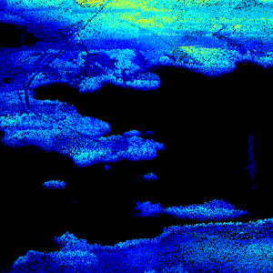
0.5 p/m2
Type of resources
Topics
Provided by
Years
Formats
Representation types
Update frequencies
Resolution
-

Laser scanning data refers to three-dimensional point-like data depicting the ground and objects on the ground. Each point is provided with x, y and z coordinate information. Laser scanning data is available from all of Finland. The product belongs to the open data of the National Land Survey of Finland. From 2020 onwards, laser scanning data according to the laser scanning programme will be produced. The product description of the 'Laser scanning data 5 p' according to the scanning programme is available: https://www.maanmittauslaitos.fi/en/maps-and-spatial-data/expert-users/product-descriptions/laser-scanning-data-5-p. A spaced-out open dataset will be created from the new Laser scanning data 5 p: https://www.maanmittauslaitos.fi/en/maps-and-spatial-data/expert-users/product-descriptions/laser-scanning-data-05-p. The characteristics of this dataset correspond to the Laser scanning data 2008–2019 dataset.
 Paikkatietohakemisto